News
Rainy ‘Undas’ over parts of PH due to Queenie
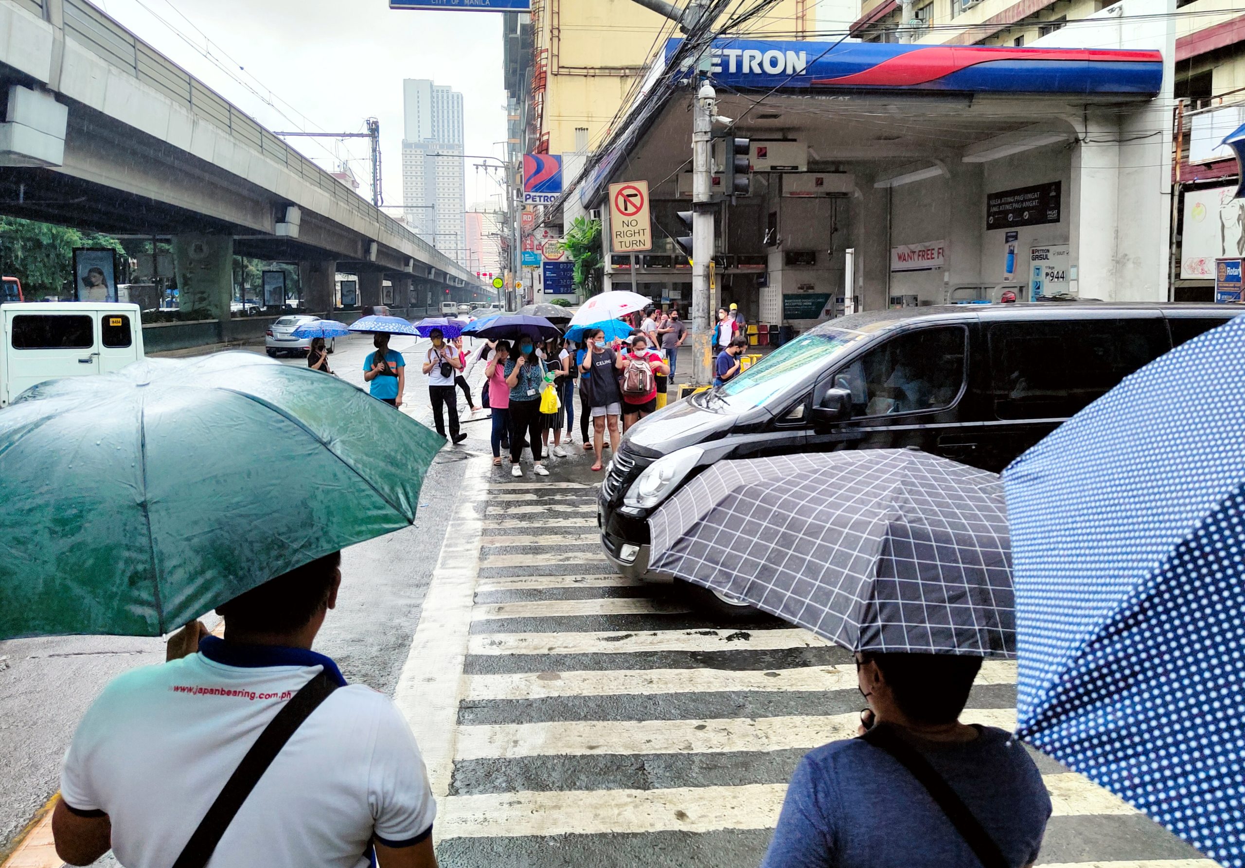
FILE: People shield themselves from the rain while waiting to cross the pedestrian lane along the intersection of Taft Avenue and Pedro Gil Street in Manila City on Monday (Sept. 19, 2022). Metro Manila and parts of the country are experiencing partly cloudy to cloudy skies with isolated rain showers or thunderstorms due to the southwest monsoon or localized thunderstorms. (PNA photo by Alfred Frias)
MANILA – Some areas in the country will experience rains on All Saints’ Day as Tropical Storm (TS) Queenie moves westward over the Philippine Sea, the weather bureau said Tuesday.
Moderate to heavy rains are forecast over Surigao del Norte, Surigao del Sur, and Dinagat Islands.
Light to moderate with at times heavy rains may be experienced over Eastern Visayas, Davao Oriental, and the rest of Caraga Region.
Flooding and rain-induced landslides are possible, especially in areas highly susceptible to these hazards, the Philippine Atmospheric, Geophysical and Astronomical Services Administration (PAGASA) said.
Queenie was last tracked 430 km. east southeast of Hinatuan, Surigao del Sur. It packs maximum sustained winds of 65 kph near the center, and gustiness of up to 80 kph.
The TS may cause moderate to rough seas over the eastern seaboard of Mindanao. These conditions may be risky for those using small seacraft.
PAGASA advised mariners to take precautionary measures when venturing to the sea and, if possible, avoid navigating in these conditions.
The TS is expected to weaken into a tropical depression within the day, and into a low pressure area by Thursday.