World News
15M people under wind chill alerts in US after Nor’easter storm

NEW YORK – More than 15 million people across the US Northeast, Appalachians and southern Florida are under wind chill alerts Sunday morning as arctic air filters south and east behind the departing Nor’easter, which delivered a mix of heavy snow and gale along much of the US East Coast on Saturday.
Morning low temperatures are forecast to be in the single digits and teens across much of the Northeast and Appalachians. However, some interior portions of New York and New England could see morning temperatures drop below zero. Winds behind the Nor’easter could gust as high as 40 miles per hour in some locations in the morning.
“These strong winds combined with the cold air temperatures will cause wind chills to be as cold as 10 to 20 degrees (Fahrenheit) below zero,” reported CNN. “This cold, arctic air will also impact locations as far south as Florida this morning, where several cities could see record morning low temperatures today.”
Morning low temperatures across the region will be in the upper 20s to mid-30s degrees Fahrenheit, but wind chills could feel as cold as 20 degrees Fahrenheit. This is some of the coldest air to impact southern Florida in over a decade, leading the National Weather Service (NWS) office in Miami to warn of “falling iguanas.”
Record accumulation
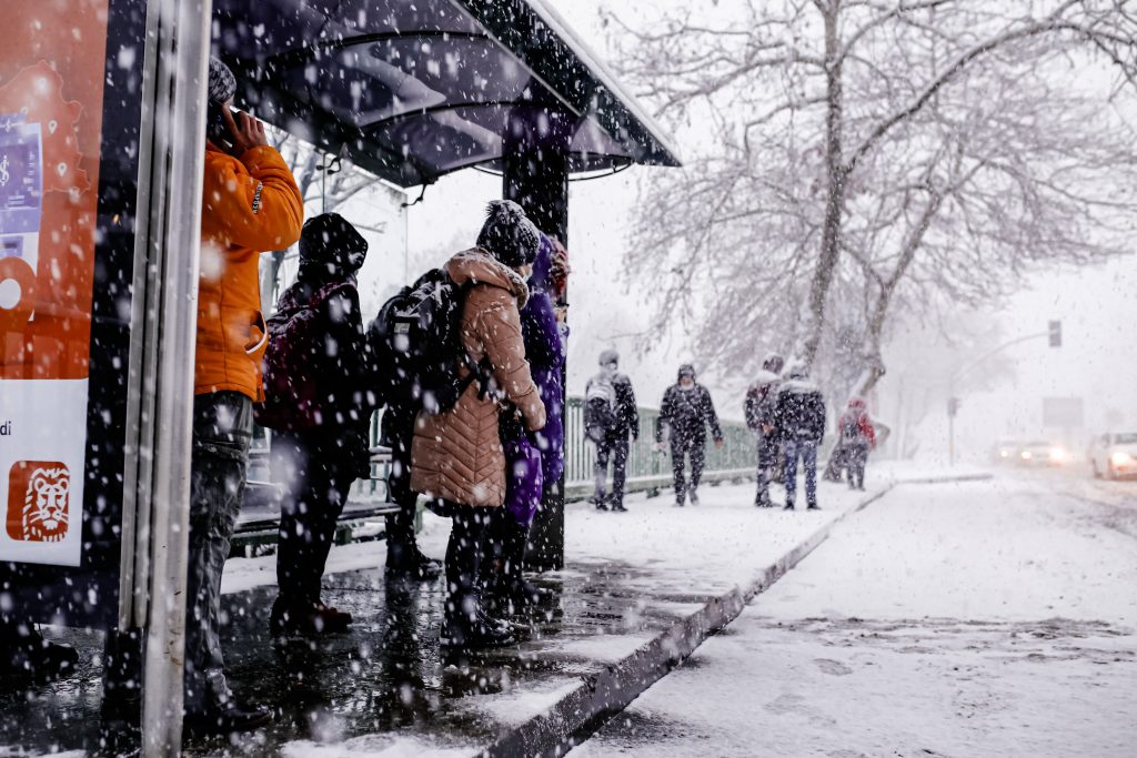
On Saturday, packing raking winds, blinding snows and piercing cold, a powerful, fast-moving winter storm roared up the US East Coast, bringing power outages, disrupted travel and general misery to millions of residents. “The worst of the storm was felt across the Northeast,” said The New York Times.
Power outages were still affecting nearly 62,000 Massachusetts residents as of early Sunday morning, and broader blackouts remained an ongoing concern with high winds threatening to snap snow-covered branches and cripple power lines as the storm churned offshore, according to the report.
“It’s a classic blizzard,” Glenn Field, a meteorologist with the National Weather Service in Norton, Massachusetts, was quoted as saying. Some areas in the state had received three to four inches of snow per hour Saturday morning. Heavy snow continued through the afternoon, with wind gusts of more than 70 miles per hour.
“Indeed, the tempest’s intensity and drifting snow made even measuring the accumulation difficult, though the storm was shaping up to be the biggest of the season in some regions, and maybe one of the biggest in decades,” said the report. The NWS said the 23.6 inches on Saturday tied the single-day record for Boston, set in 2003.
Another mess
In the week ahead, Winter Storm Landon could bring a mess of snow, sleet and ice from the Plains to the Midwest and Great Lakes while soaking parts of the Northeast just days after Winter Storm Kenan’s heavy snow on Saturday, The Weather Channel, an American pay television channel owned by Weather Group, reported on Sunday.
“We’re in the peak time of year for large, expansive winter storms in the United States, and the latest forecast guidance suggests the ingredients will be in place for another one of these just after we turn the calendar to February,” it said.
A fresh supply of arctic air will move into the nation’s midsection as a sharp, southward plunge of the jet stream carves into the US western and central regions, pulling increasing moisture northward over the cold air, according to the report.
“As is almost always the case, all the key details, such as how much snow, sleet and freezing rain falls where and when, remain uncertain. But this has the potential to be a disruptive winter storm for travel by the middle of the week,” it added.


