Breaking
Trough of LPA continues to bring rains over Luzon
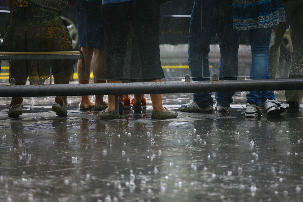
MANILA — Expect light to moderate rains on Monday over most parts of Luzon including Metro Manila due to the trough of low pressure area (LPA), according to Philippine Atmospheric, Geophysical and Astronomical Services Administration (PAGASA).
PAGASA weather forecaster Jori Loiz said that as off 4 a.m. the LPA was spotted some 140 km west of Laoag City (18.5ºN, 119.0ºE).
Loiz said said the LPA has slim chance to develop into tropical cyclone and is expected to weaken while exiting the Philippine Area of Responsibility (PAR).
He added once it exits the PAR the weather should improve gradually.
But Loiz said the weather bureau continues to monitor the LPA since it is still in the sea.
In case it intensifies into a tropical depression within the Philippine territory, Loiz said it would be named “Kanor” — it will be the second cyclone to visit the country this month and the 11th for this year.
The weather bureau still expects two or three more tropical cyclones to enter the country this month.
However, Loiz said due to the trough or extended cloudiness of LPA it will bring light to moderate rains over Metro Manila, the regions of Cagayan Valley, Cordillera, Ilocos, Central Luzon and Mimaropa (Mindoro, Marinduque, Romblon and Palawan).
Due to a wind convergence affecting Visayas, particularly Samar, this will bring light to moderate rainshowers and thunderstorms.
He added the rest of the country will be partly cloudy to cloudy with isolated rainshowers or thunderstorms.
In its advisory, PAGASA said light to moderate winds blowing from the southwest to south will prevail over Luzon and from the southeast to southwest over Visayas and Mindanao.
The coastal waters throughout the archipelago will be slight to moderate.


