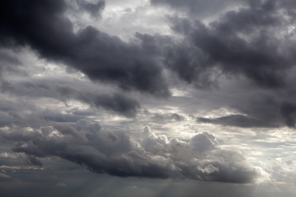
MANILA — The government-run Philippine Atmospheric, Geophysical and Astronomical Services Administration (PAGASA) expects cloudiness and rain from Good Friday (April 3) until Easter Sunday (April 5) in several tourist areas nationwide.
In its outlook released Thursday, PAGASA) said partly cloudy skies to at times cloudy conditions with rain showers or thunderstorms are likely this Good Friday in Luzon’s Vigan City, Baguio City, Banaue, Anilao, Puerto Galera, Taal and El Nido; the Visayas’ Boracay, Bohol and Cebu as well as Mindanao’s Camiguin Island and Davao.
PAGASA also forecast Naga City in Bicol Region to experience on the same day cloudy skies with rainshowers and thunderstorms.
Weather conditions in some of the tourist areas will likely worsen on Black Saturday (April 4) as PAGASA cautioned against rains with gusty winds that day in Baguio City, Banaue and Naga City, aside from cloudy skies with rainshowers and thunderstorms in Vigan, Anilao, Puerto Galera, Taal, Boracay and Cebu, however.
Partly cloudy skies to at times cloudy conditions with rainshowers or thunderstorms will continue on Black Saturday in El Nido, Bohol, Camiguin and Davao, noted PAGASA.
For Easter Sunday, PAGASA forecasts stormy weather to prevail in Baguio City and Banaue as well as rains with gusty winds in Vigan City.
Cloudy skies with rainshowers and thunderstorms are likely in Anilao, Puerto Galera, Taal and Naga City while partly cloudy skies to at times cloudy conditions with rain showers or thunderstorms are possible in El Nido, Boracay, Bohol, Cebu, Camiguin and Davao during the same day, PAGASA continued.
The weather agency continues warning about typhoon ‘Chedeng’ (international name ‘Maysak’), estimating this tropical cyclone to landfall by late Saturday to early Sunday over the eastern coast of Aurora or Isabela provinces in Luzon.
‘Chedeng’ is already inside the Philippine Area of Responsibility at 995 kilometers east of Catarman, Northern Samar province as of 10 a.m. Thursday, noted PAGASA.
The typhoon is packing maximum sustained winds of 175 kilometers per hour near its center and gustiness of up to 210 kilometers per hour, PAGASA said in its 11 a.m. severe weather bulletin issued Thursday.
“Estimated rainfall amount is from moderate to heavy within the 150-kilometer to 200-kilometer radius of the typhoon,” warned PAGASA.
Forecast movement of ‘Chedeng’ is west-northwest at 19 kilometers per hour, PAGASA continued.
PAGASA also forecast location of ‘Chedeng’ at 740 kilometers east of Daet, Camarines Norte province on Friday morning, 595 kilometers east of Virac, Catanduanes province on Saturday morning and 130 kilometers northeast of Baguio City on Sunday morning.
The agency warned ‘Chedeng’ can trigger possible flash floods in low-lying areas and landslides along mountain slopes, particularly in the Aurora-Isabela area as well as up to 4.0-meter high storm surges and sea surface waves in the eastern coast of Samar, Bicol and Aurora-Quezon.