MANILA — A nearing Tropical Storm is expected next week to enter the Philippine Area of Responsibility (PAR) or recurve back to its position, according to the Philippine Atmospheric Geophysical and Astronomical Services Administration (PAGASA).
In an interview, PAGASA Weather Forecaster Lester Sia said that a Tropical Storm in the Pacific Ocean is heading westward of the country and has the possibility of either entering the PAR or recurve back.
Sia noted the Tropical Storm might enter the PAR or move back on Wednesday or Thursday.
If the TS proceeds to enter the country, it will be named “Chedeng”.
Meanwhile, Sia noted the “Northeast monsoon” will not affect the country anymore by next week, as it will be replaced by the easterlies.
PAGASA’s 5:00 p.m. Weather Bulletin, for Saturday, said that the Northeast Monsoon will still bring isolated rains to Northern Luzon, brought by partly cloudy to at times cloudy skies.
”Cagayan Valley, Cordillera and Ilocos Region will experience partly cloudy to at times cloudy skies with isolated light rains,” it said.
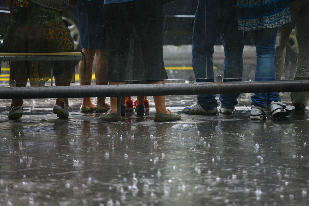
Metro Manila and the rest of the country, on the other hand, will have partly cloudy to cloudy skies. It will also experience isolated rainshowers or thunderstorms.
PAGASA warns that moderate to occasionally strong winds, blowing from the Northeast to East, will prevail over extreme Northern Luzon.
Luzon and Visayas’ will experience moderate to rough coastal waters due to the winds blowing from the Northeast.
Other areas will have light to moderate winds affecting seas to be slight to moderate as well.