Photo Credit: Joint Typhoon Warning Center US
MANILA – Less than one day after Glenda churned its way through the country, wreaking a trail of havoc along her path before exiting towards China, another possible tropical cyclone is forming in the skies off eastern Philippines near Palau.
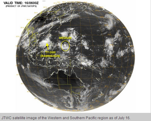
Hawaii-based US Navy and US Air Force agency, the US Joint Typhoon Watch Center (JTWC) on Wednesday raised the status of a new weather disturbance in the South Pacific; saying it now has a high potential to strengthen into a tropical cyclone of significance within the next 24 hours.
JTWC said in its tropical cyclone formation alert: “Animated enhanced infrared satellite imagery depicts a rapidly consolidating low level circulation center with formative convective banding along the southern periphery and persistent central convection. Convection has continued to improve. Upper level analysis reveals a favorable environment with good equatorward outflow and low vertical wind shear. Sea surface temperatures in the area are conducive for development.”
“Maximum sustained surface winds are estimated at 15 to 20 knots. Minimum sea level pressure is estimated to be near 1005 mb. The potential for the development of a significant tropical cyclone within the next 24 hours is high,” the agency added.
Philippine weather bureau PAGASA said that is likewise keeping close watch on the development of the low pressure area, which – if it develops into a tropical storm – will be locally named “Henry,” now located approximately1,090 kilometers east of the Visayas.