Headline
Bohol, Cebu, rest of Central Visayas brace for future disasters

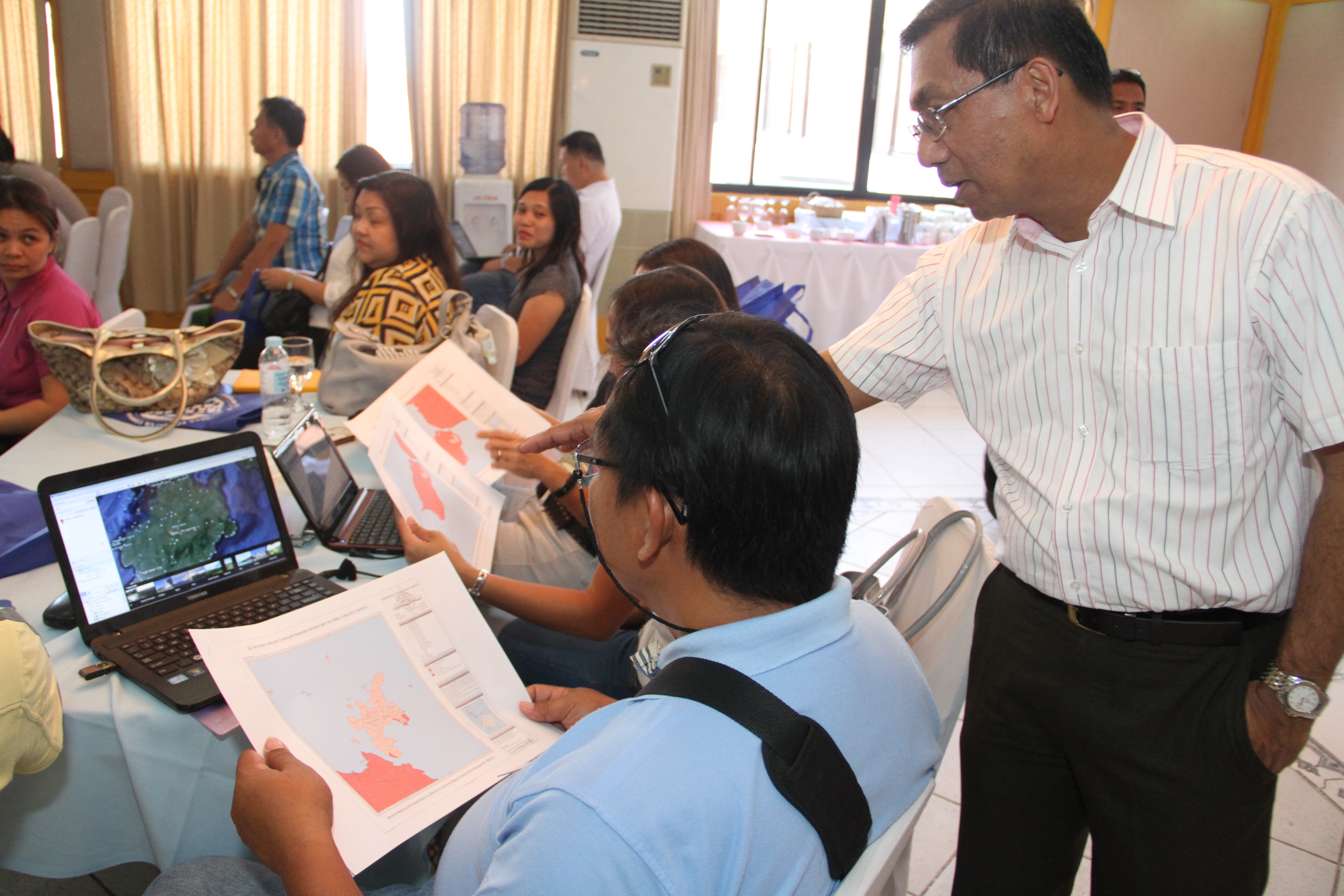
PHIVOLCS Director Renato U. Solidum and PAGASA Administrator Vicente Malano guide INAP participants from Bohol as they work on one of the hands-on activities.
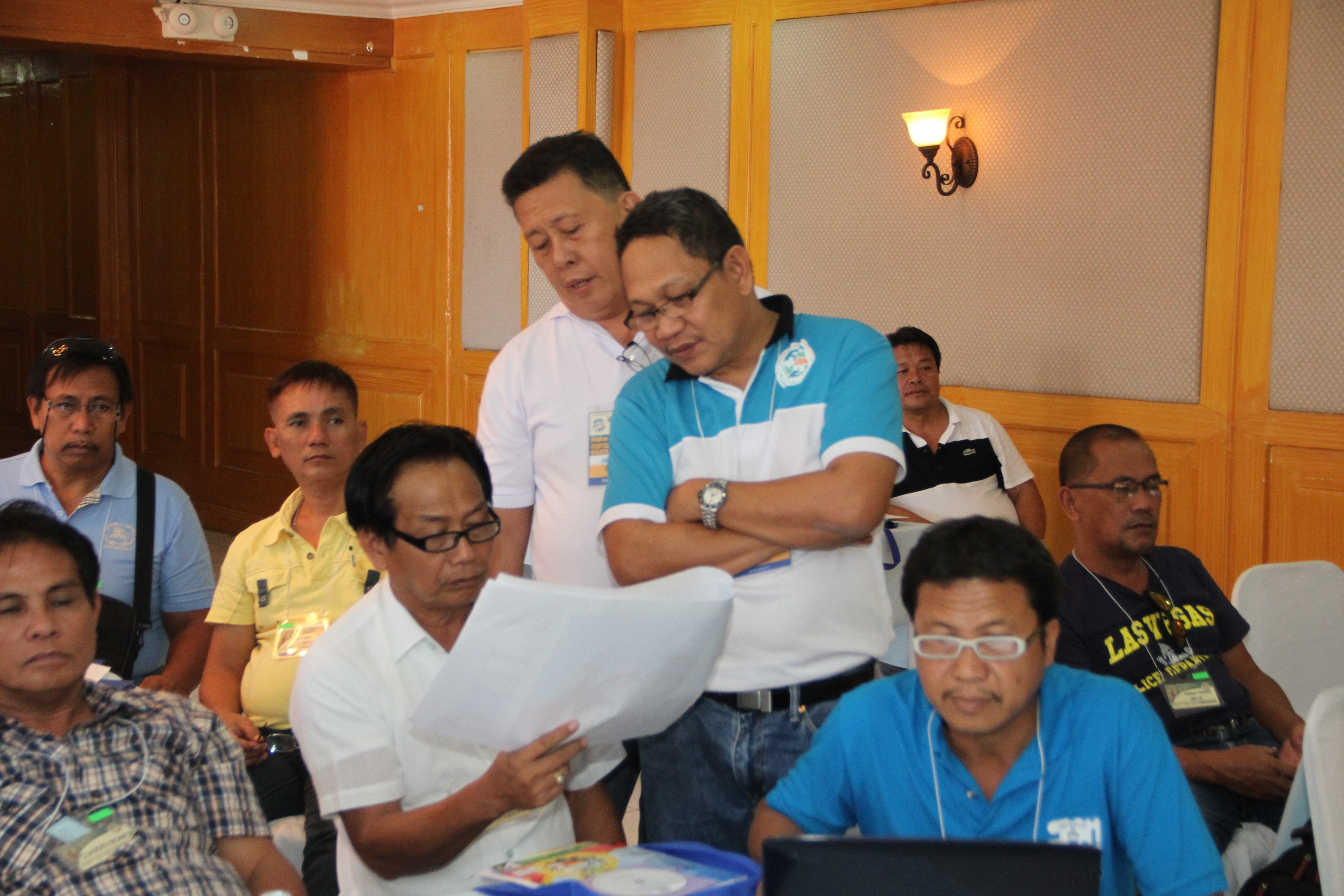
Officials and disaster risk reduction managers (DRRM) from earthquake and typhoon-ravaged Bohol and Cebu joined their counterparts from Negros Oriental and Siquijor for the Central Visayas leg of the Department of Science and Technology’s (DOST) ongoing national disaster information campaign and gave the roadshow its biggest participant turnout to date.
Among the 185 participants of the recent seminar-workshop held at the Crown Regency Residences in Cebu City were Mayor Juliet B. Dano of the town of Sevilla in Bohol and Hermogenes Manengo of the Municipal Disaster Risk Reduction Management Council in Carmen, Cebu.
Mayor Dano and Manengo, as well as the rest of the participants sought to learn the lessons of the past and find workable solutions to future disasters via the nationwide roadshow dubbed “Iba na ang Panahon (INAP): Science for Safer Communities.”

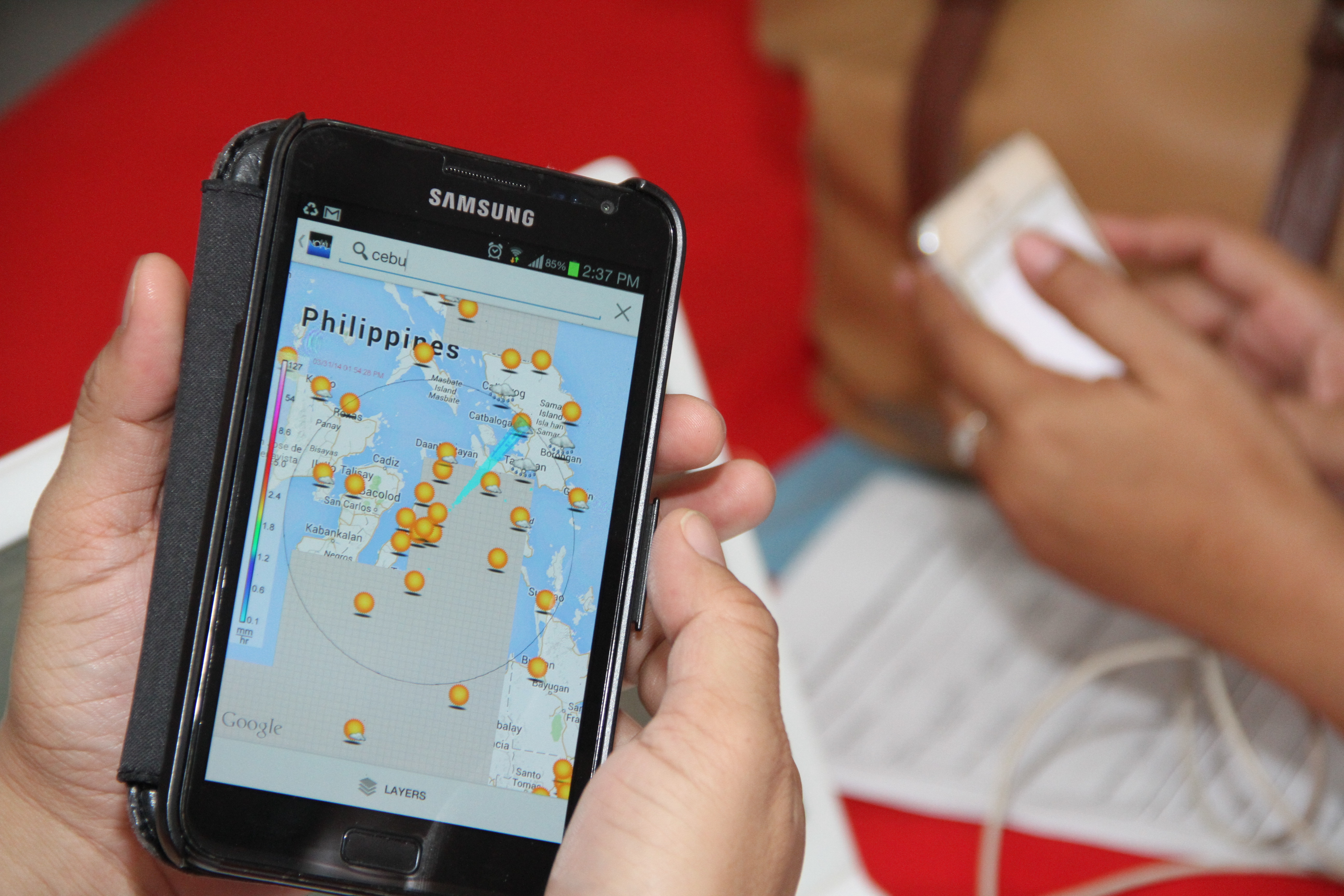
A Cebu participant checks out Project NOAH website in his smartphone.
Significance of hazard maps
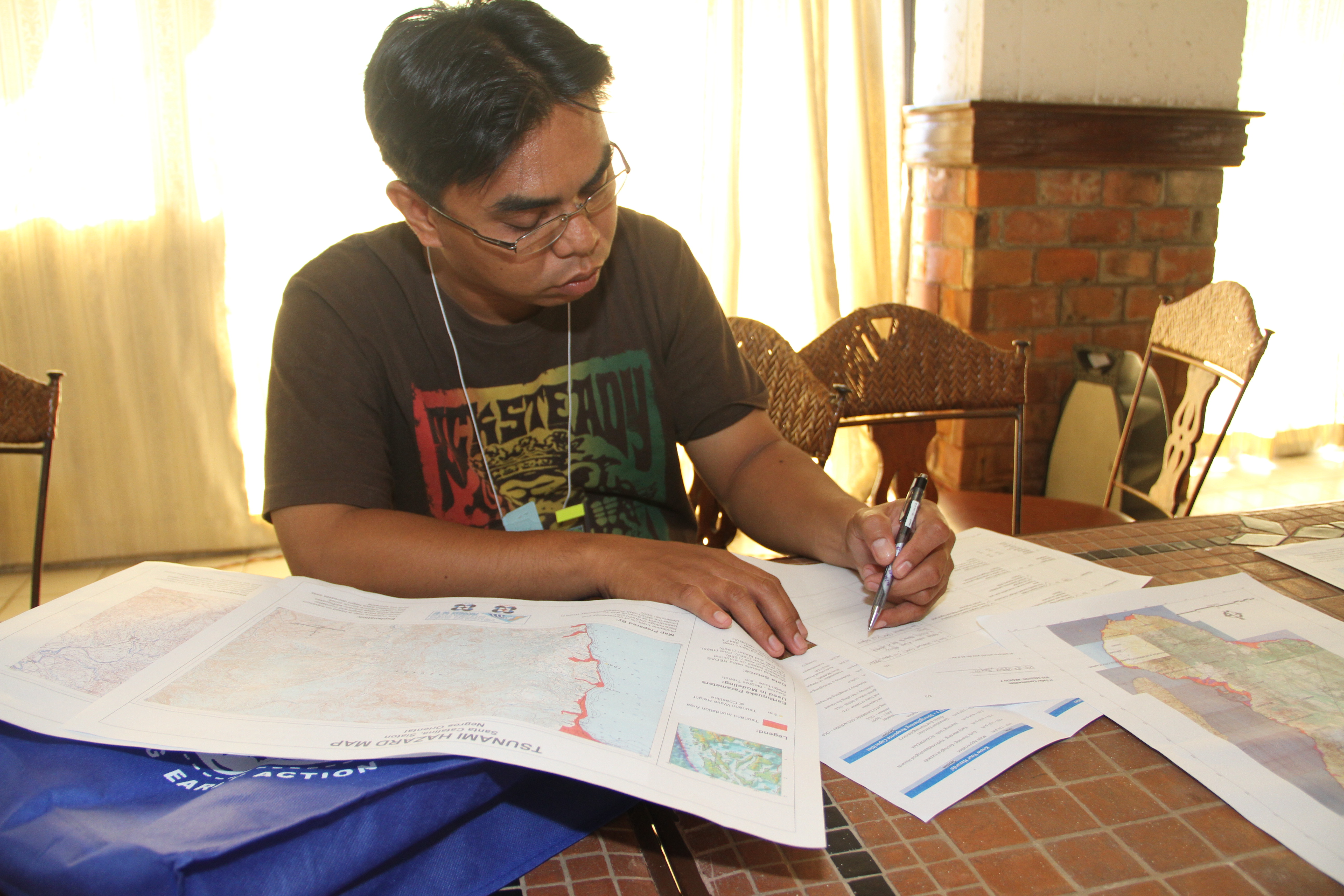
A collaboration among DOST, the Department of the Interior and Local Government and the Office of Civil Defense, INAP aims to bring disaster mitigation and management information across the country’s 17 regions in order to arm local government units with adequate know-how and science-based modern tools like 3D hazard maps, flood models, the Project NOAH website, and mobile applications for community preparedness.
“We really need hazard mapping in our town,” said Mayor Dano who admitted they did not have any sort of hazard maps in Sevilla. “Later on, hopefully I can develop an IT department,” she added, stressing the importance of information technology specialists in their office who can handle such tasks for early warning and early action against disasters.
Sevilla is listed among 17 Bohol towns heavily affected by the magnitude 7.2 tremor that rocked parts of Visayas in October 15, 2013 – said to be the deadliest in the Philippines in 23 years with an energy equivalent to that of 32 Hiroshima bombs. The mayor related that some public markets and barangay halls in their town were totally damaged, roads were destroyed, and mountains split. The latter led to the death of one person whose house stood at the side of the mountain. The body was not recovered until 2-3 days after the earthquake.
Manengo echoed Mayor Dano’s statement. “Alam na natin yung mga calamity areas kasi mayroon na tayong mapa ng mga areas na delikado. Natutunan rin natin na mayroon nang [Project] NOAH. (Now we know the calamity areas because we now have maps showing which areas are vulnerable. We have also learned about Project NOAH),” he said. Earlier, Manengo revealed that during forced evacuation prior to Yolanda’s landfall, they realized that evacuation centers were lacking in Carmen where Signal No. 3 was raised.

PHIVOLCS Director Renato U. Solidum and PAGASA Administrator Vicente Malano guide INAP participants from Bohol as they work on one of the hands-on activities.
Tulang Diyot’s secret revealed
The INAP participants gained knowledge of these technologies via a roster of speakers that included PHIVOLCS Director Renato U. Solidum, PAGASA Administrator Vicente Malano, Project NOAH Executive Director Mahar Lagmay, and their respective staff members who also presided over hands-on activities and workshops for each province.
They also gained insights from Alfredo Arquillano Jr., former mayor of San Francisco in the Camotes Islands which lie between Cebu and Leyte.
On November 8, 2013, all houses in Tulang Diyot Island in the town of San Francisco which belongs to the Camotes group of islands, were leveled to the ground. But its people survived the fury of Yolanda, thanks to their awareness of the island’s own disaster vulnerability and sense of community preparedness. In fact, Arquillano revealed they have been conducting typhoon drills for years.
This is due to the municipality’s “purok” system, which was developed in 2004 during Arquillano’s term as mayor. The system guides the community to work together down to the “purok” or sub-village level to make easy communication and rapid evacuation possible when disaster occurs.
In his talk on Day 2 of INAP, Arquillano said that among others, the “purok” system undertakes the following: Put in place organization and coordination to understand and reduce disaster risk based on participation of citizen groups and civil society, assign a budget for DRR, prepare risk assessment and use this as basis for decisions in connection with urban development, invest in infrastructure critical to DRR and make necessary adjustments as required by climate change, DRR education and training in communities and schools, protect ecosystems and natural buffers to mitigate floods, storm surges and other hazards, and regular public preparedness drills.
Narrating the events on the day before Yolanda made landfall, Arquillano said they immediately held a meeting after PAGASA issued the typhoon warning. They decided to evacuate all 1,000 residents and immediately, everyone grabbed their belongings and proceeded to higher ground — the San Francisco town proper.
“For me, what is important is how we can really increase the level of awareness, for the public to understand and be informed of what they should do. You’re talking of building resilience. This should be on a household level,” explained the former mayor who remains involved in San Francisco’s state of affairs especially where the “purok” system is concerned.
Meanwhile, he stated that the Doppler radars by PAGASA and Project NOAH offer good news to the country. “One of our country’s major threats is flooding. With Doppler, we will know what the weather situation is – if a strong rain is about to hit the country – so we can inform the people. This is one of the best information I’ve gained in this event,” stated Arquillano who received the United Nations Sasakawa Award for Disaster Risk Reduction in 2011 for San Francisco from the United Nations Office for Disaster Risk Reduction.
Press release courtesy of the Department of Science and Technology, 18 April 2014.


