News
‘Marce’ likely to affect areas hit by recent cyclones: PAGASA

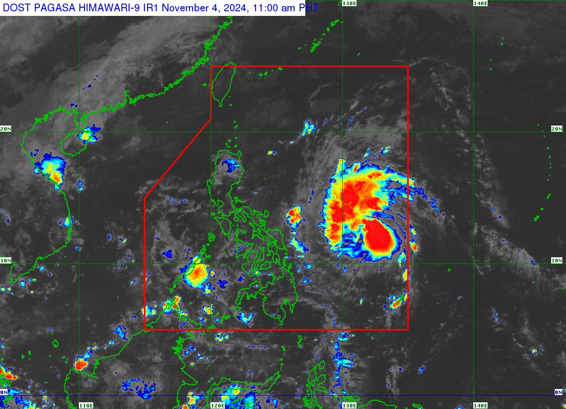
Satellite image of Tropical Storm Marce as of 11 a.m. on Nov. 4, 2024. (Photo: dost_pagasa/Facebook)
MANILA – Tropical Storm Marce (international name Yinxing) will likely affect the areas hit by tropical cyclones Kristine (Trami) and Leon (Kong-rey), the Philippine Atmospheric, Geophysical and Astronomical Services Administration (PAGASA) said Monday.
“Marce’s track is in the middle of Kristine and Leon’s track. Those in areas affected by the two cyclones should prepare as these are the same areas that may be affected by Marce,” PAGASA meteorologist Veronica Torres said in a briefing.
The cyclone was last tracked 775 km. east of Borongan City, Eastern Samar as of 10 a.m. It is moving west northwest at 35 km. per hour (kph).
PAGASA forecast Marce to make landfall in the vicinity of Babuyan Islands or mainland northern Cagayan on Thursday night or Friday.
“As Marce becomes nearer, PAGASA might issue storm signals and rainfall advisories in the next days. People in Northern and Central Luzon should coordinate with their local disaster risk reduction units,” forecaster Chris Perez said in the same briefing.
Northern Luzon, especially extreme Northern Luzon, and Central Luzon are likely to experience storm signals and heavy rainfall based on Marce’s track, according to Torres.
The cyclone packs maximum sustained winds of 75 kph near the center and gustiness of up to 90 kph. It is forecast to intensify and reach the typhoon category on Wednesday.
Meanwhile, Torres said the trough of Marce is affecting extreme Northern Luzon and the eastern section of Luzon. These areas could experience moderate to heavy, and even torrential rains beginning Tuesday, she said.
No gale warning is issued as of Monday, but Torres said small motorbancas should avoid venturing along the seaboards of Batanes, Babuyan Islands, Ilocos Norte and Ilocos Sur because of rough seas.


