News
Kristine now over Ilocos coastal waters; LPA to develop into cyclone
By Ma. Cristina Arayata, Philippine News Agency

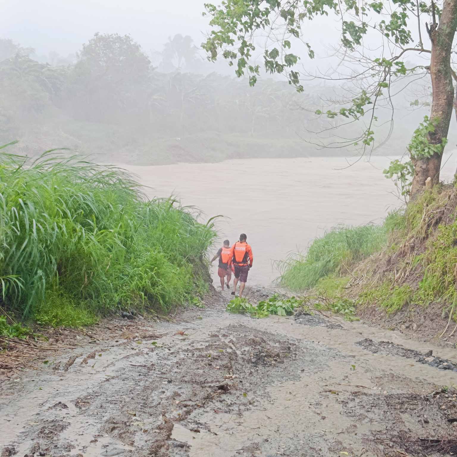
FILE: Emergency responders rescue a drowning person and continue to search for two others after they were carried by floodwaters in Mabinay and Pamplona towns in Negros Oriental Wednesday (Oct. 23, 2024) afternoon. (Photo: Negros Oriental Police Provincial Office via Philippine News Agency/Facebook)
As of 4 p.m., Kristine was spotted over the coastal waters of Santa Lucia, Ilocos Sur with maximum sustained winds of 95 kilometers per hour (kph) near the center, and gustiness of up to 145 kph.
Storm-force winds will be experienced in Ilocos Sur, La Union, and Pangasinan, all under Tropical Cyclone Wind Signal (TCWS) no. 3.
On the other hand, gale-force winds will prevail in areas under TCWS no. 2- Cagayan including Babuyan Islands, Isabela, Quirino, Nueva Vizcaya, Apayao, Kalinga, Abra, Ifugao, Mountain Province, Benguet, Ilocos Norte, Aurora, Nueva Ecija, Tarlac, Zambales, Bataan, Pampanga, and Bulacan.
Strong winds will prevail in areas where TCWS no. 1 is hoisted which include Batanes, Metro Manila, Rizal, Batangas, Laguna, Cavite, Quezon, Occidental Mindoro, Oriental Mindoro, Marinduque, Romblon, the northern portion of mainland Palawan (El Nido, Taytay, Araceli, San Vicente, Dumaran, Roxas) including Calamian Islands, Cuyo, and, Kalayaan Islands, Camarines Norte, Camarines Sur, Catanduanes, Albay, Sorsogon, and Masbate including Ticao and Burias Islands, Aklan, Capiz, Antique including Caluya Islands, Iloilo, Bantayan Islands, Northern Samar, the northern portion of Samar (Calbayog City, Almagro, Tagapul-An, Santo Nino).
“There is a minimal to moderate risk of storm surge with peak heights of around 1 to 2 meters above normal tide levels in the next 48 hours over the low-lying or exposed coastal localities of Ilocos Sur, La Union, Pangasinan, Cagayan, Isabela, Aurora, and Zambales,” the Philippine Atmospheric, Geophysical and Astronomical Services Administration (PAGASA) said.
Gale warning is hoisted over the seaboards of Luzon and the western and central seaboards of the Visayas. Sea travel is risky for all types or tonnage of vessels.
The STS is forecast to move westward or west northwestward over the West Philippine Sea and exit PAR on Friday.
Meanwhile, PAGASA forecaster Veronica Torres said a low pressure area was last tracked about 2,455 km. east of northeastern Mindanao, outside PAR.
“It has a high chance of developing into a cyclone within 24 hours,” she said.
Torres added that the cyclone could head towards Northern Luzon or may recurve.
The uncertainty of the forecast track is also high since the LPA is still far, she said.


