Headline
Parts of Luzon still under signal no. 2; ‘Enteng’ now over WPS
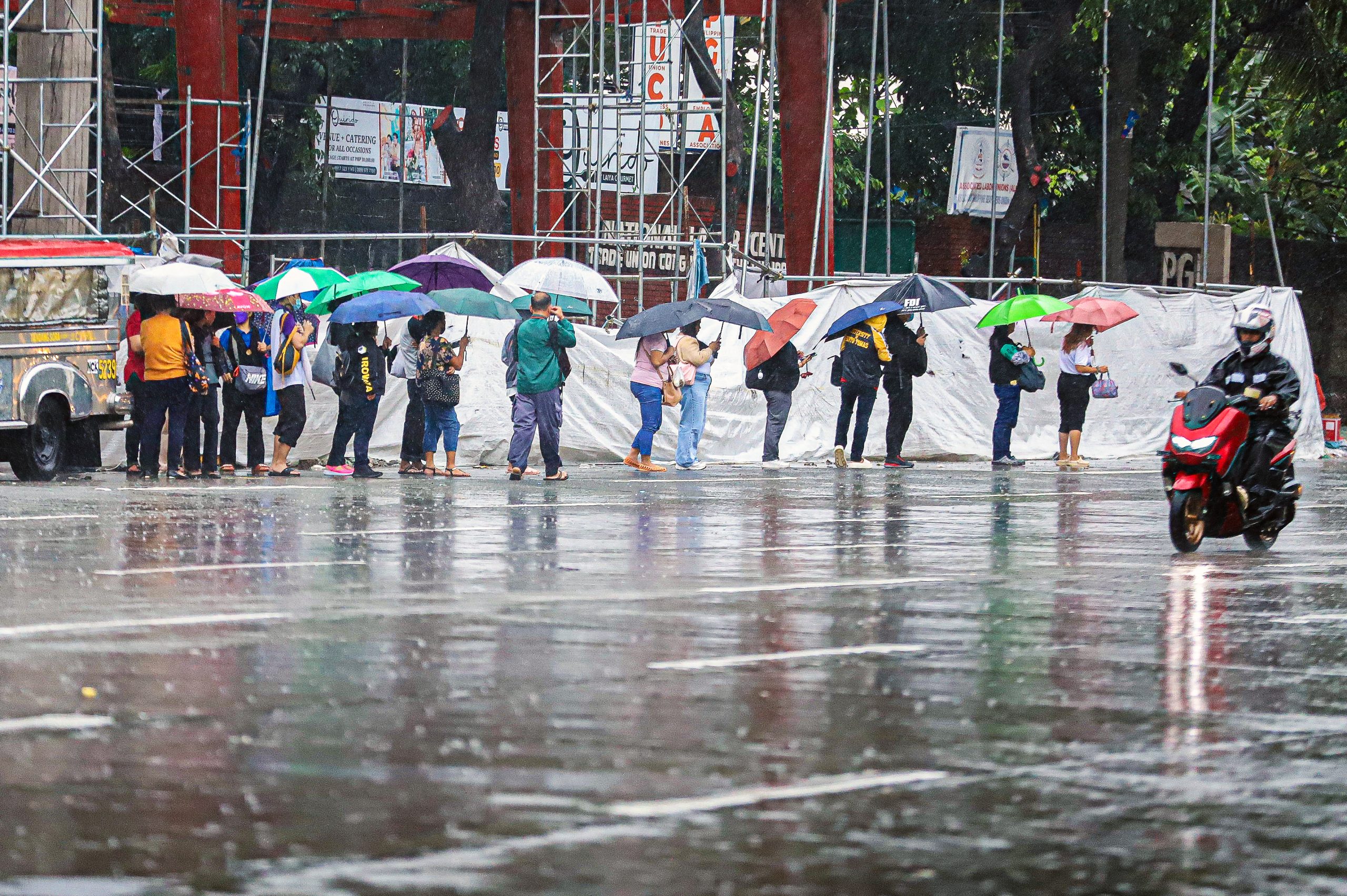
STORMY DAY. Passengers wait for rides in Elliptical Road, Quezon City amid rains on Monday (Sept. 2, 2024). Classes and work in government offices were suspended while some private companies sent their employees home earlier than usual due to Tropical Storm Enteng. (PNA photo by Robert Oswald P. Alfiler)
By Ma. Cristina Arayata, Philippine News Agency
MANILA – Tropical Cyclone Wind Signal (TCWS) No. 2 is still hoisted over parts of Luzon as Tropical Storm Enteng (international name Yagi) is now over the West Philippine Sea, the weather bureau said Tuesday.
In its 4 a.m. advisory, the Philippine Atmospheric, Geophysical and Astronomical Services Administration (PAGASA) said the center of Enteng was estimated in the vicinity of Batac City in Ilocos Norte, packing maximum sustained winds of 75 kph near the center and gustiness of up to 125 kph, and moving northwest at 25 kph.
Gale-force winds are likely in the following areas under TCWS No. 2: Ilocos Norte, the northern portion of Ilocos Sur (Sinait, Cabugao, San Juan, Magsingal, Santo Domingo, San Ildefonso, San Vicente, Santa Catalina, City of Vigan, Bantay, Santa, and Caoayan), Apayao, Abra, Kalinga, and the western portion of Mainland Cagayan (Piat, Santo Nino, Camalaniugan, Tuao, Pamplona, Alcala, Amulung, Buguey, Solana, Rizal, Claveria, Iguig, Lasam, Aparri, Ballesteros, Abulug, Allacapan, Sanchez-Mira, and Santa Praxedes), including the Babuyan Islands (Calayan, Dalupiri, and Fuga islands)
Strong winds will be experienced in areas under TCWS No. 1: the rest of Ilocos Sur, the northern portion of La Union (Luna, Santol, San Juan, Bagulin, Bangar, San Gabriel, Bacnotan, Sudipen, Balaoan), Mountain Province, Ifugao, the northern portion of Benguet (Mankayan, Kapangan, Atok, Kabayan, Kibungan, Bakun, Buguias, and Tublay), Batanes, the rest of Mainland Cagayan, the rest of Babuyan Islands, Isabela, the northern portion of Nueva Vizcaya (Bayombong, Ambaguio, Bagabag, Villaverde, Diadi, Quezon, and Solano), and the northern portion of Quirino (Aglipay, Saguday, Diffun, and Cabarroguis).
PAGASA said Enteng enhances the southwest monsoon or “habagat,” which will bring gale-force gusts to the Ilocos Region, Nueva Vizcaya, Quirino, Zambales, Bataan, Aurora, Bulacan, Metro Manila, Calabarzon, Mimaropa, Bicol Region, Western Visayas, Negros Island, and Northern Samar.
Heavy rainfall is forecast over the Ilocos, Cagayan Valley, and Cordillera regions.
The “habagat” will also cause moderate to intense rainfall in other areas of Luzon, especially along the western portions, in the next three days.
Meanwhile, a gale warning is in effect over the seaboards of Northern Luzon and the eastern seaboard of Central Luzon. Sea travel is risky for small seacraft, including all types of motorbancas.
Rough seas will prevail over the western seaboard of Northern Luzon outside gale warning areas, while moderate to rough seas are forecast over the western seaboard of Central Luzon, the seaboards of Southern Luzon, and the western seaboard of the Visayas.
Mariners of small sea vessels, including all types of motorbancas, are advised not to venture out to sea under these conditions, especially if inexperienced or operating ill-equipped vessels.
Slight to moderate seas are expected over the eastern seaboards of the Visayas and Mindanao.
PAGASA urges mariners of motorbancas and similarly-sized vessels to take precautionary measures while venturing out to sea and, if possible, avoid navigation under these conditions.