Headline
Carina now a super typhoon; La Mesa Dam overflows
By Ma. Cristina Arayata, Philippine News Agency
FILE: CARINA INTENSIFIES INTO SUPER TYPHOON AND IS ABOUT TO MAKE LANDFALL OVER NORTHERN TAIWAN (Photo: @dost_pagasa/X)
MANILA – Typhoon Carina has intensified into a super typhoon, packing maximum sustained winds of 185 kph near the center and gustiness of up to 230 kph, the weather bureau said Wednesday.
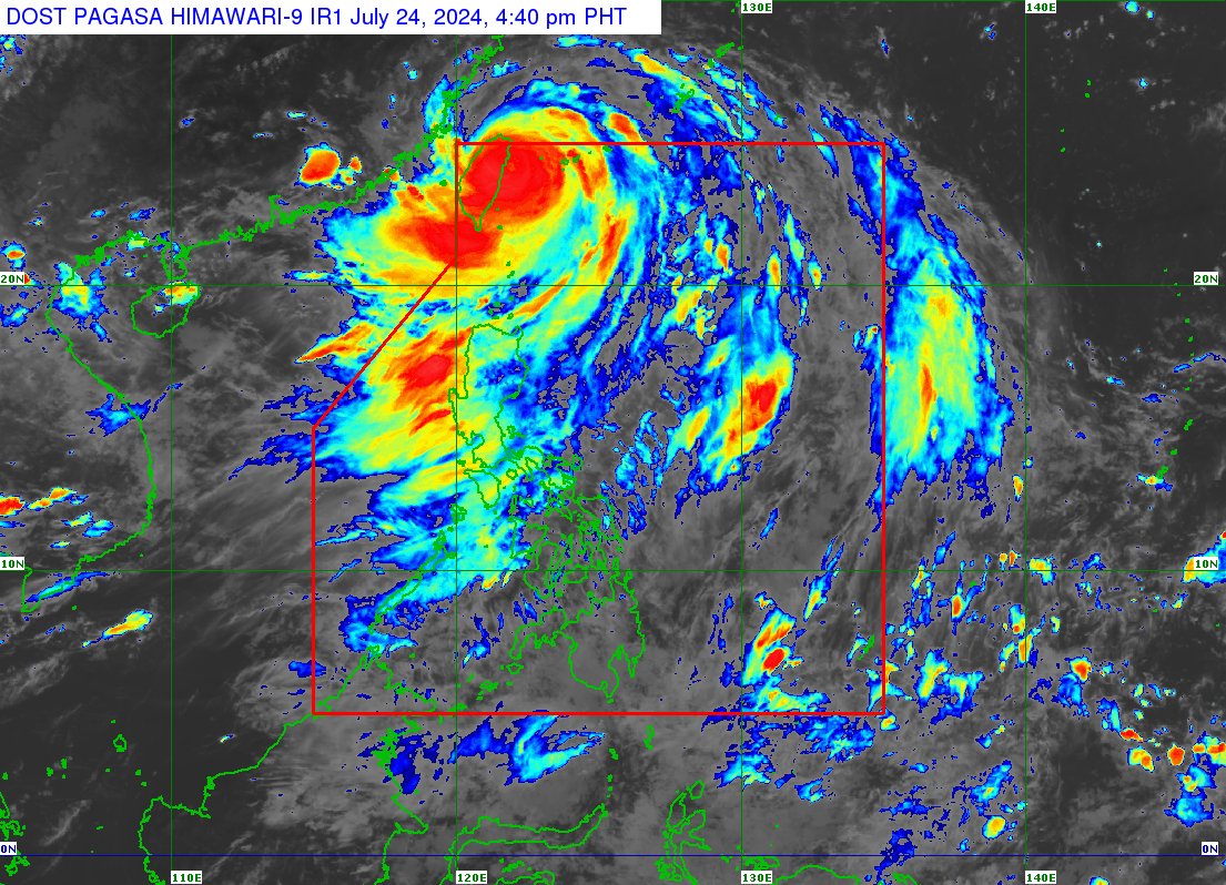
In its 5 p.m. bulletin, the Philippine Atmospheric, Geophysical and Astronomical Services Administration (PAGASA) said Carina was last tracked 380 km. north of Itbayat, Batanes, moving northwestward at 20 kph.
Stormy weather is forecast over Batanes, while rains with gusty winds are forecast over the northern portion of Cagayan, including the Babuyan Islands, and the northern portion of Ilocos Norte due to Carina.
Tropical Cyclone Wind Signal (TCWS) No. 2 remains hoisted over Batanes.
Strong winds will prevail in areas under TCWS No. 1: Babuyan Islands, the northern portion of mainland Cagayan (Claveria, Santa Praxedes, Sanchez-Mira, Pamplona, Abulug, Ballesteros, Aparri, Camalaniugan, Buguey, Santa Teresita, Santa Ana, and Gonzaga), and the northern portion of Ilocos Norte (Burgos, Bangui, Pagudpud, Dumalneg, and Adams).
The enhanced southwest monsoon, meanwhile, will bring rains over Metro Manila, Abra, Benguet, Zambales, Bataan, Tarlac, Pampanga, Bulacan, Rizal, Occidental Mindoro, and the rest of the Ilocos region.
It will also cause occasional rains over the rest of the Cordillera region, Nueva Ecija, and the rest of Calabarzon, and scattered rain showers over Western Visayas, Negros Island Region, and the rest of Luzon.
PAGASA said heavy rainfall could result in flooding in hazard-prone areas in Metro Manila, Rizal, Bataan, Zambales, Bulacan, and Pampanga.
The rest of the country will have isolated rain showers also due to the southwest monsoon.
Moderate to strong winds and moderate to rough seas will prevail across the archipelago, PAGASA said.
La Mesa Dam overflows
Meanwhile, PAGASA Administrator Nathaniel Servando said La Mesa Dam started to overflow after its water level reached 80.16 meters around 6 p.m. Wednesday.
The dam’s spilling level is 80.15 meters and could result in flooding in low-lying areas along the Tullahan River in Quezon City (Fairview, Forest Hills Subdivision, Quirino Highway, Sta. Quiteria, and San Bartolome), Valenzuela (Barangay Ligon, North Expressway and La Huerta Subdivision), and Malabon.
PAGASA advised residents of these areas, especially those near the riverbanks, to be alert for possible flooding.
More than 100 flights canceled
Both Carina and the southwest monsoon grounded 119 flights via the Ninoy Aquino International Airport (NAIA) as of 5 p.m.
Nine were flights between Manila and Taipei, while the rest were domestic routes.
One flight from Da Nang, Vietnam was diverted to Clark.
Cebu Pacific earlier said NAIA Terminal 4 was closed due to flooding, prompting the airline to operate CebGo flights at Terminal 3.
As of 5 p.m., the airline said it has resumed operations at Terminal 4.
PAGASA forecast Carina to make landfall over the northern portion of Taiwan on Wednesday night and exit the Philippine Area of Responsibility on Thursday.