News
Magnitude 7.6 quake jolts Papua New Guinea; 6.1 hits Indonesia

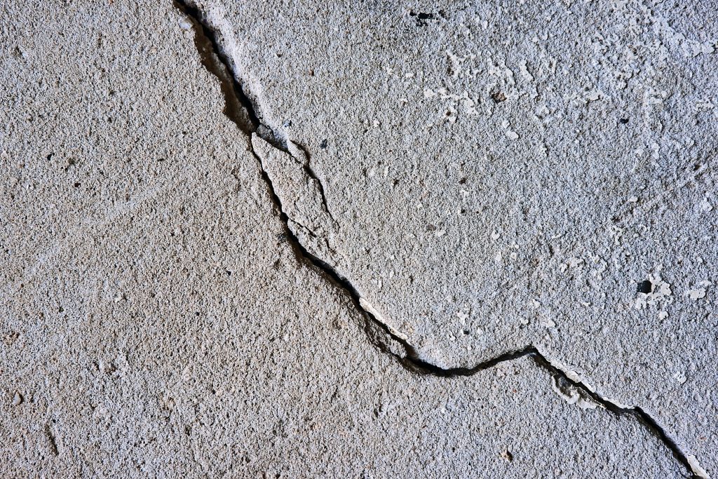
Citing data from the China Earthquake Networks Center (CENC), Xinhua reported that the quake hit Papua New Guinea at 7:46 a.m. Sunday. (File Photo by Andrew Buchanan/Unsplash)
ANKARA – A magnitude 7.6 earthquake was recorded near Papua New Guinea in the Pacific Ocean on Sunday, the US Geological Survey (USGS) said.
There were no reports of casualties or damage from the quake, which struck at a depth of 90 kilometers (56 miles) beneath the surface near the Australian plate, according to USGS.
Citing data from the China Earthquake Networks Center (CENC), Xinhua reported that the quake hit Papua New Guinea at 7:46 a.m. Sunday.
In Indonesia, a powerful earthquake struck off the country’s western province of West Sumatra on Sunday, but did not leave casualties, officials and an agency said.
Earlier, the country’s meteorology, climatology and geophysics agency released a 6.1 magnitude earthquake and then revised it to a 6.2 Richter scale, Head of the Quake and Tsunami Division of the Meteorology, Climatology and Geophysics Agency named only Daryono said.
“The 6.1 magnitude is fast information, the 6.2 is an accurate figure,” he told Xinhua via phone.
The agency reported that the quake struck at 06:10 Jakarta time Sunday (2310 GMT Saturday) with the epicenter at 161 km northwest of Mentawai islands district and a depth of 10 km under the seabed.
The tremors of the earthquake did not have the potential to trigger a tsunami, it said.
But, more than 2,000 residents in the district immediately ran to higher grounds for fear of a tsunami, said Amir Ahmari, head of the emergency and logistic unit of the district’s disaster management and mitigation agency.
“One woman was injured as she was hit by a falling wood while escaping the quake. Cracks are found in two school buildings here,” he told Xinhua via phone.
Head of the Operation Unit of West Sumatra province named only Jumaidi told Xinhua that aid, including logistics and others have been sent to the quake-affected areas. (Anadolu/Xinhua)


