News
‘Urduja’ to exit PAR Tuesday: PAGASA

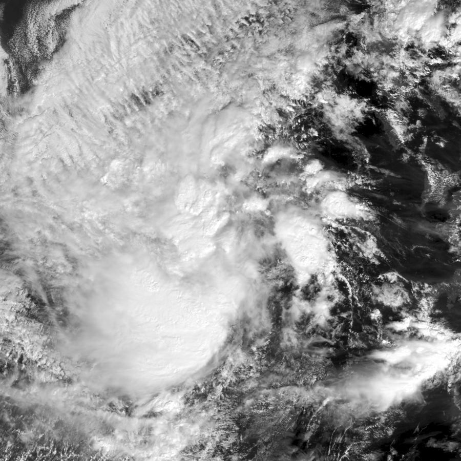
Geostationary imagery of 2017’s Tropical Storm Kai-tak (32W) (Photo By Naval Research Laboratory – https://www.nrlmry.navy.mil/archdat/test/kml/TC/2017/WPAC/32W/visir/, Public Domain)
MANILA— Tropical depression “Urduja” (international name Kai-Tak) has maintained its strength as it approaches the western boundary of the Philippine Area of Responsibility (PAR) Tuesday, the Philippine Atmospheric, Geophysical and Astronomical Services Administration (PAGASA) said.
“Urduja” is expected to leave PAR today.
The state weather bureau said the “Urduja” was estimated at 230 kilometers west northwest of Puerto Princesa, Palawan with maximum winds and gusts of up to 60 km/h and is forecast to move west southwest at 50 km/h, as the tailend of a cold front is affecting the eastern section of Northern Luzon.
Meanwhile, the tropical warning signal no. 1 over Palawan has been lifted. However, sea travel remains risky over the western seaboard of Palawan due to the surge of northeast monsoon.
The provinces of Cagayan, Isabela, and Aurora will have cloudy skies, rainshowers and thunderstorms due to a tail-end- of a cold front.
Metro Manila, Ilocos region, Cordilera, the rest of Cagayan Valley and Central Luzon will have cloudy skies and scattered rains due to northeast monsoon.
Meanwhile, the low pressure area (LPA) outside the PAR was estimated at 395 km east of Mindanao. PAGASA said it will be named ‘Vinta’ once it enters PAR.


