Art and Culture
NYC museum displaying rare maps of original 13 colonies

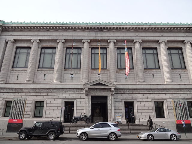
Entrance of New York Historical Society (Photo By Andrevruas – Own work, CC BY-SA 3.0)
NEW YORK — A New York City museum is opening an exhibit of rarely displayed maps that provide a blueprint of the transformation of the original 13 colonies into the United States of America.
The exhibit titled “Mapping America’s Road from Revolution to Independence” opens Friday at the New-York Historical Society in Manhattan and runs until March 11, 2018.
The documents on display include rare hand-drawn and engraved maps from the 18th and early 19th centuries. The graphic artistry unique to mapmaking during the American Colonial period is highlighted by the inclusion of Founding Father and New York Governor John Jay’s copy of a 1755 British map showing English and French holdings in North America.
Also on display are original survey maps produced by the chief surveyor of the Continental Army during the American Revolution.


