Headline
‘Carina’ maintains strength while moving over northern Cagayan—PAGASA
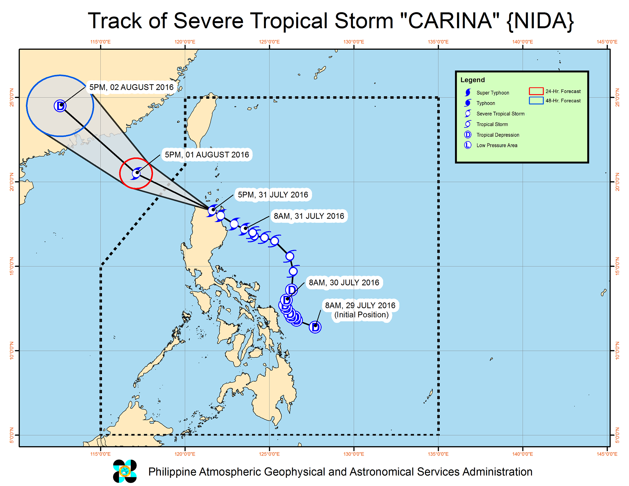
Photo: DOST-Pagasa
MANILA—Severe tropical storm “Carina” has maintained its strength while traversing northern Cagayan province in northern Luzon, the state weather bureau said in its weather bulletin issued at 5 p.m. Sunday.
The Philippine Atmospheric, Geophysical and Astronomical Services Administration (PAGASA) said that as of 4 p.m., the center of storm “Carina” was estimated based on all available data at 30 kilometers south of Aparri, Cagayan (18.1ºN, 121.6ºE), packing maximum winds of up to 95 kilometers per hour near the center and gustiness of up to 120 kph. It was forecast to move west-northwest at 20 kph.
With its current speed and movement, “Carina” is expected to exit the northwestern part of Cagayan on Sunday evening and the Philippine Area of Responsibility (PAR) by Monday morning headed towards China.
Meanwhile, tropical cyclone warning signal (TCWS) No. 2 (61 to 120-kph winds expected in 24 hours) is still raised over the provinces of Isabela, Ilocos Norte, Ilocos Sur, Apayao, Mt. Province, Ifugao, Kalinga, Abra and Cagayan, including the Babuyan Group of Islands
Signal No. 1 (30-60 kph winds expected in 36 hours) is hoisted over the Batanes Group of Islands, Benguet, La Union, Nueva Vizcaya, Quirino, Pangasinan, Nueva Ecija and Aurora.
PAGASA said that areas under TCWS #1 and #2, CALABARZON, MIMAROPA and the rest of Central Luzon are alerted against moderate to heavy rains which may trigger flash floods and landslides.
The estimated rainfall amount is from moderate to heavy within the 500-km diameter of the severe tropical storm.Fisherfolk are alerted against rough to very rough seas over the northern, eastern and southern seaboards of Luzon.