Philippine News
Roxas calls on LGUs to prepare for tropical depression “Betty”

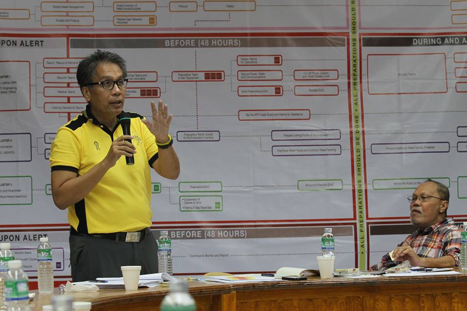
Secretary Roxas ordered all personnel of the Philippine National Police, the Bureau of Jail Management and Penology, the Bureau of Fire Protection, regional offices of the DILG, and of the LGUs in areas forecast to be affected by ‘Ruby’ to be on heightened alert and cancel their leaves of absence to ensure the safety of the people (Official Gazette of the Republic of the Philippines’ Facebook page)
MANILA – Secretary of Interior and Local Governments Manuel “Mar” Roxas II on Wednesday urged the local government units (LGUs) in Northeastern part of Luzon to prepare for tropical depression “Betty” even though it is losing its strength while traversing the Philippine seas.
”Ayon sa datos na nakalap ng PAGASA, ito ay hindi nakikitang lalakas pa (Based on PAGASA’s data, it is not seen to strengthen),” Roxas said in an SMS for local executives in affected areas.
Nonetheless, Roxas urged them to take the necessary precautions and ensure the safety of their constituents.
He advised the public to be prepared and continue to monitor weather forecast.
In its 11 a.m. advisory, PAGASA said the tropical depression Betty slightly weakened while traversing over the Philippine Sea.
As of 10 a.m. the tropical depression Betty was estimated based on all available data at 1,120 km East of Casiguran, Aurora (15.7°N, 132.6°E) packed with maximum winds of 45 kph, a slight decrease from 55 kph. It is forecast to move West at 17 kph.
According to PAGASA weather forecaster Meno Mendoza tropical depression Betty, if it maintain its present movement and speed, is expected to make a landfall in Isabela-Cagayan by Saturday.
Mendoza said tropical depression Betty is expected to weaken into a low pressure area (LPA) due to the presence of ridge of high pressure area and because of strong vertical wind shear or winds from different directions that blow into the country.
He said the agency had not raised any public storm warning signal but tropical depression Betty would bring cloudy skies with rains over Northern and Central Luzon by Friday.
So far, the tropical depression is not affecting the country until Thursday as most parts of the country will continue to experience generally fair weather due to Ridge of High Pressure Area (HPA) affecting Northern Luzon, Mendoza said.
The estimated rainfall amount is from 2.5 – 7.5 mm per hour (light – moderate) within the 300 km diameter of the Tropical Depression.
The tropical depression is expected to weaken into a Low Pressure Area (LPA) within the next 24 hours. It is expected to be at 705 km East of Casiguran, Aurora by Thursday morning and 320 km East of Southeast of Casiguran, Aurora by Friday morning.


