Breaking
LPA exits PAR; southwest monsoon brings rains over western section of Luzon

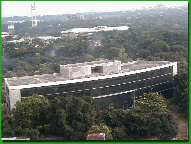
The PAGASA main office at the Science Garden Complex, Agham Road, Diliman, Quezon City. Reynaldo K. Lirios / PAGASA.DOST.GOV.PH
MANILA — Except in the western section of Luzon, the country is expected to experience gradual weather improvement as the low pressure area (LPA) off the Ilocos region has already left the Philippine Area of Responsibility (PAR), according to the Philippine Atmospheric, Geophysical and Astronomical Services Administration (PAGASA).
PAGASA weather forecaster Gladys Saludes said the LPA exited on Monday morning and was not expected to re-curve or reenter the country.
However, Saludes said the enhanced southwest monsoon or “hangin habagat” will bring occasional rains over the western section of Luzon.
She said the southwest monsoon, which is associated with the occurrence of intermittent to continuous rains, is the prevailing wind system during the rainy season.
She added that the Ilocos region, Zambales and Bataan will experience occasional rains due to the southwest monsoon.
The rest of the country, including Metro Manila, will have sunny to cloudy skies with possible isolated rains due to localized thunderstorms.
Meanwhile, Saludes said the weather bureau has not monitored any weather disturbance to affect the country within the next two to three days.
PAGASA still expects two or three more tropical cyclones to enter the country this month.
The next tropical cyclone to enter the Philippine territory, Saludes said, would be named “Kanor.”
In its 5 p.m. advisory, PAGASA said light to moderate winds blowing from the southwest to south will prevail over Luzon and coming from the southeast to southwest over the Visayas and Mindanao.
The coastal waters throughout the archipelago will be slight to moderate.


